The Nile River, recognized as the longest river in the world, is often referred to as the “father of African rivers.” Originating south of the Equator, it flows northward through northeastern Africa, ultimately draining into the Mediterranean Sea. Stretching approximately 4,132 miles (6,650 kilometers), it encompasses a drainage area of around 1,293,000 square miles (3,349,000 square kilometers). The river’s basin spans several countries including Tanzania, Burundi, Rwanda, the Democratic Republic of the Congo, Kenya, Uganda, South Sudan, Ethiopia, Sudan, and the agricultural regions of Egypt.
Sources and Tributaries
The Nile river is primarily fed by three major tributaries:
– Blue Nile (Arabic: Al-Baḥr Al-Azraq; Amharic: Abay)
– Atbara (Arabic: Nahr ʿAṭbarah)
– White Nile (Arabic: Al-Baḥr Al-Abyad)
The furthest source of the Nile is the Kagera River in Burundi, while the White Nile originates from Lakes Victoria and Albert. The name “Nile” is derived from the Greek term “Neilos,” likely originating from a Semitic root meaning “valley” or “river valley.”
Historical Significance
The ancient Egyptians and Greeks were intrigued by the Nile’s unique flow from south to north and its seasonal flooding during the hottest months of the year. The river was referred to as “Ar” or “Aur” (Coptic: Iaro), meaning “Black,” in reference to the dark sediments it carried during floods. This fertile mud contributed to the land’s ancient name, “Kem” or “Kemi,” also meaning “black.”
Physiography of the Nile
The Nile’s current course is thought to have evolved around 30 million years ago. The basin is naturally divided into seven regions, including the Lake Plateau of East Africa and the Nile delta. The river’s journey through diverse landscapes has facilitated the rise and fall of ancient civilizations, making it a crucial area for agriculture and settlement.
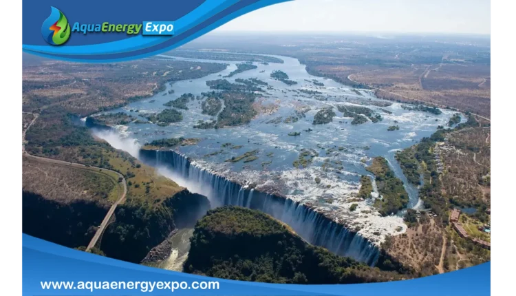
The Murchison Falls
In the Lake Plateau region of East Africa, the Nile’s headstreams and lakes contribute to its flow. The river flows northward over Murchison Falls (also known as Kabalega Falls) in Uganda, where it descends into the East African Rift System, creating stunning landscapes and ecosystems.
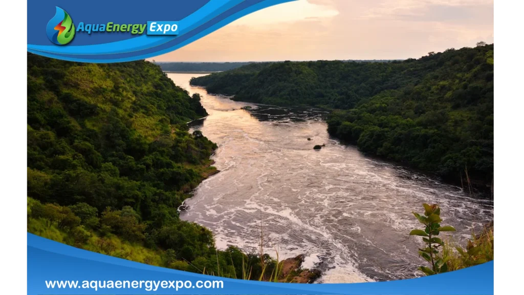
Bahr Al-Jabal and the White Nile
Upon entering South Sudan, the Nile is known as the Bahr Al-Jabal Nile (Mountain Nile). This section features narrow gorges and rapids, with the river eventually becoming wider and slower as it merges with the White Nile at Malakal. The White Nile, approximately 500 miles long, provides significant water flow into Lake Nasser downstream.
Blue Nile River
The Blue Nile flows from the Ethiopian Plateau and is characterized by its dramatic seasonal flooding, which significantly contributes to the Nile’s overall flow. Its waters join the White Nile at Khartoum, creating one of the most vital river systems in the world.
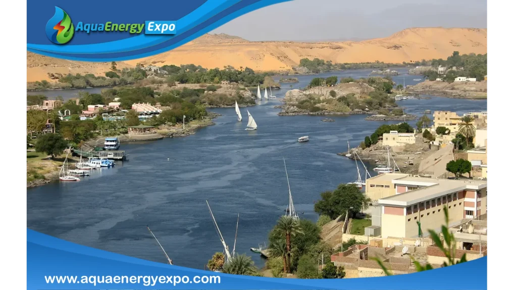
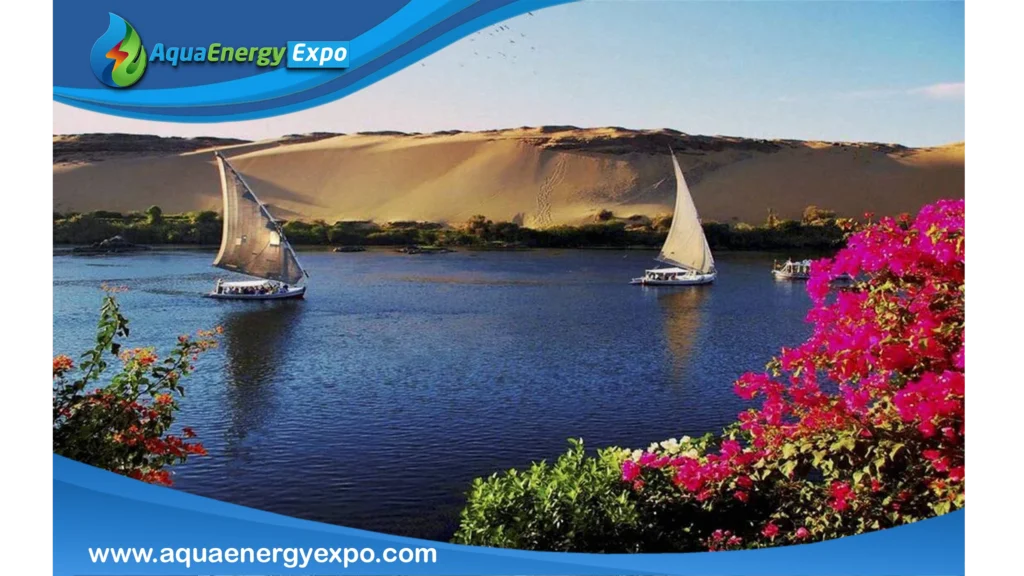
Lake Nasser
North of Khartoum, the Nile flows into Lake Nasser, a man-made reservoir created by the Aswan High Dam. This lake plays a crucial role in water management and irrigation for the surrounding agricultural lands.
Climate and Hydrology
The Nile river basin experiences varied climates, with the southern regions receiving heavy rainfall during the summer months, while the northern areas remain arid. The river’s annual flooding, primarily driven by rains in Ethiopia, is a vital source of water for agriculture and sustenance in the region.
Conclusion
The Nile River is not just a geographical feature; it is a lifeline that has shaped the history, culture, and agriculture of northeastern Africa. Its significance continues to be felt today, as it remains a critical resource for millions of people across the continent.
Reference
1.Physiography of Nile River
https://www.britannica.com/place/Nile-River/Physiography
2.Nile River
https://www.britannica.com/place/Nile-River/Physiography
