Because of how rivers’ environments are changing as a result of climate change, it is no longer practical to manage current rivers using techniques that have been used in the past.
Researchers from the Korea Institute of Civil Engineering and Building Technology (KICT) and Deltares of the Netherlands have collaborated to study how an eco-morphodynamic model applied to a real river might be used to anticipate future changes in river landscapes.
plant cover will continue to rise until 2031
According to the study’s findings, plant cover will continue to rise until 2031, and up to 20% of the river’s surface will be covered by willow trees. By organizing management methods in advance, this simulation shows how efficient river management can be achieved.
The Delft3D program
The Delft3D program, which is widely used in the field of river hydraulics, is combined with a vegetation model in the eco-morphodynamic model created by Deltares.
The Delft3D calculates a riverbed’s elevation, water depth, and flow rate. Then, using a Delft3D calculation, the vegetation model mimics the germination, settlement, growth, and mortality of plants.
Vegetation characteristics are simultaneously transformed to flow resistance and sent back into Delft3D.
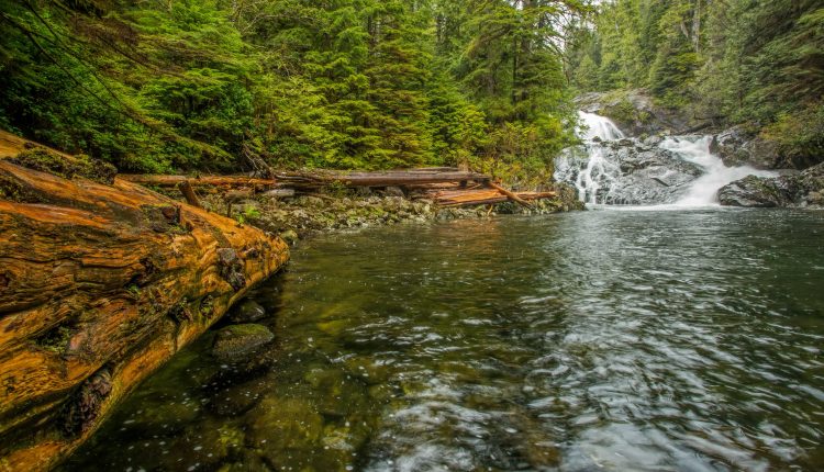
The eco-morphodynamic model was applied by KICT and Deltares to Korea’s Naeseongcheon Stream, which is located in an area with a temperate monsoon climate and significant seasonal hydrological changes.
The majority of the Naeseongcheon Stream resembles a natural river in its characteristics. Given that its riverbed is primarily made of sand, hydrological changes and vegetation dynamics are what cause it to shift.
Source: National Research Council of Science & Technology (NST)
